
Kuala Lumpur attractions near the metro
Which station for every landmark, temple and shopping street — with the line and the walking time.
See Kuala Lumpur by metro
The LRT, MRT and KL Monorail are the fastest, cheapest way to reach the sights of Kuala Lumpur. Here you will find which station serves each attraction, which line it is on and how many minutes it is on foot — with honest onward directions where a landmark sits on a hill or beyond the rail network.
See also the KL Metro map and the route planner.
Must-see
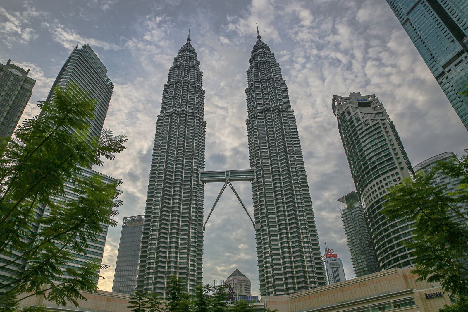
Suria KLCC
KLCC (Line KJ) · 3 min
How to get there →
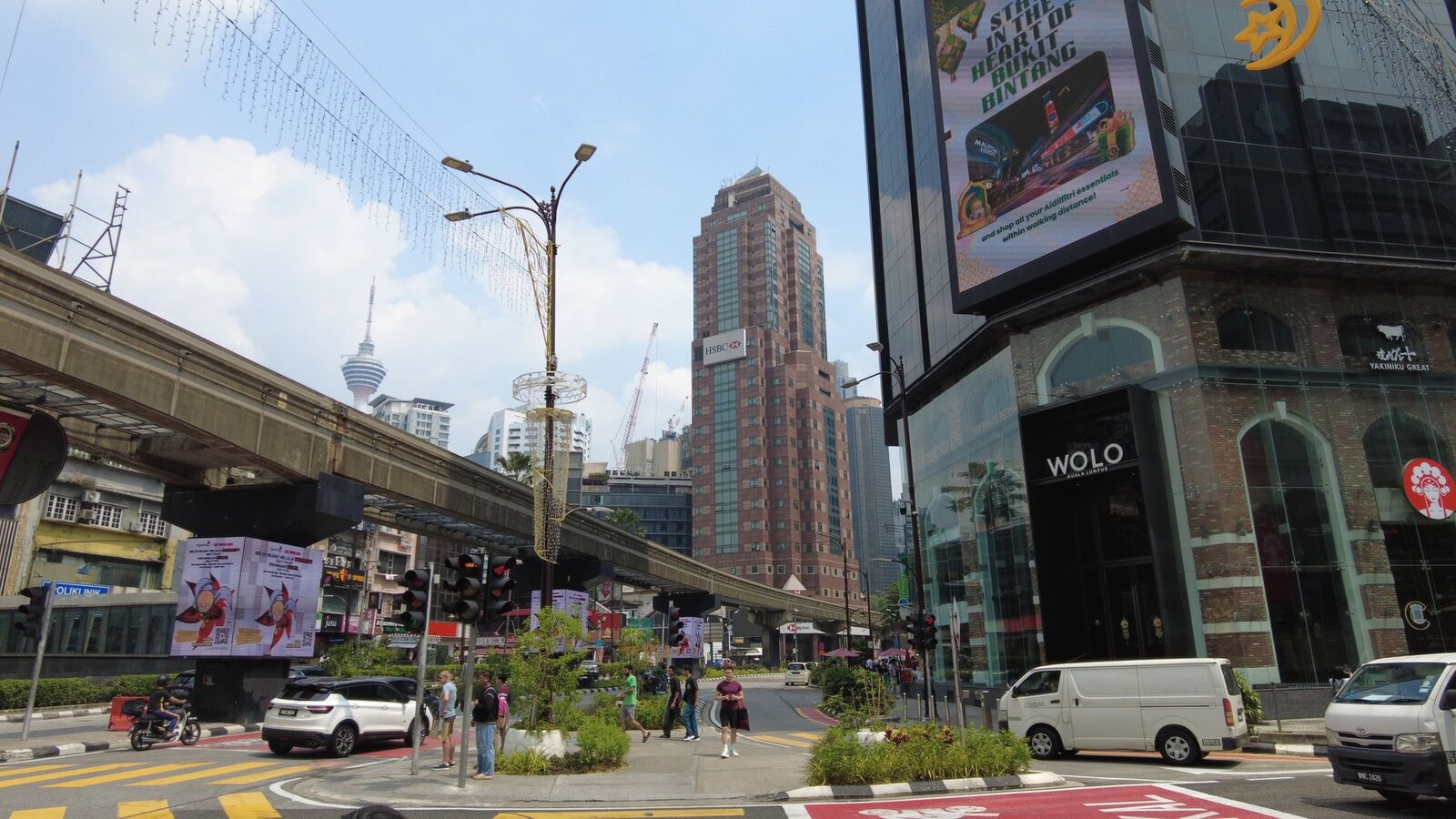
Pavilion KL
Bukit Bintang (Line KG) · 1 min
How to get there →
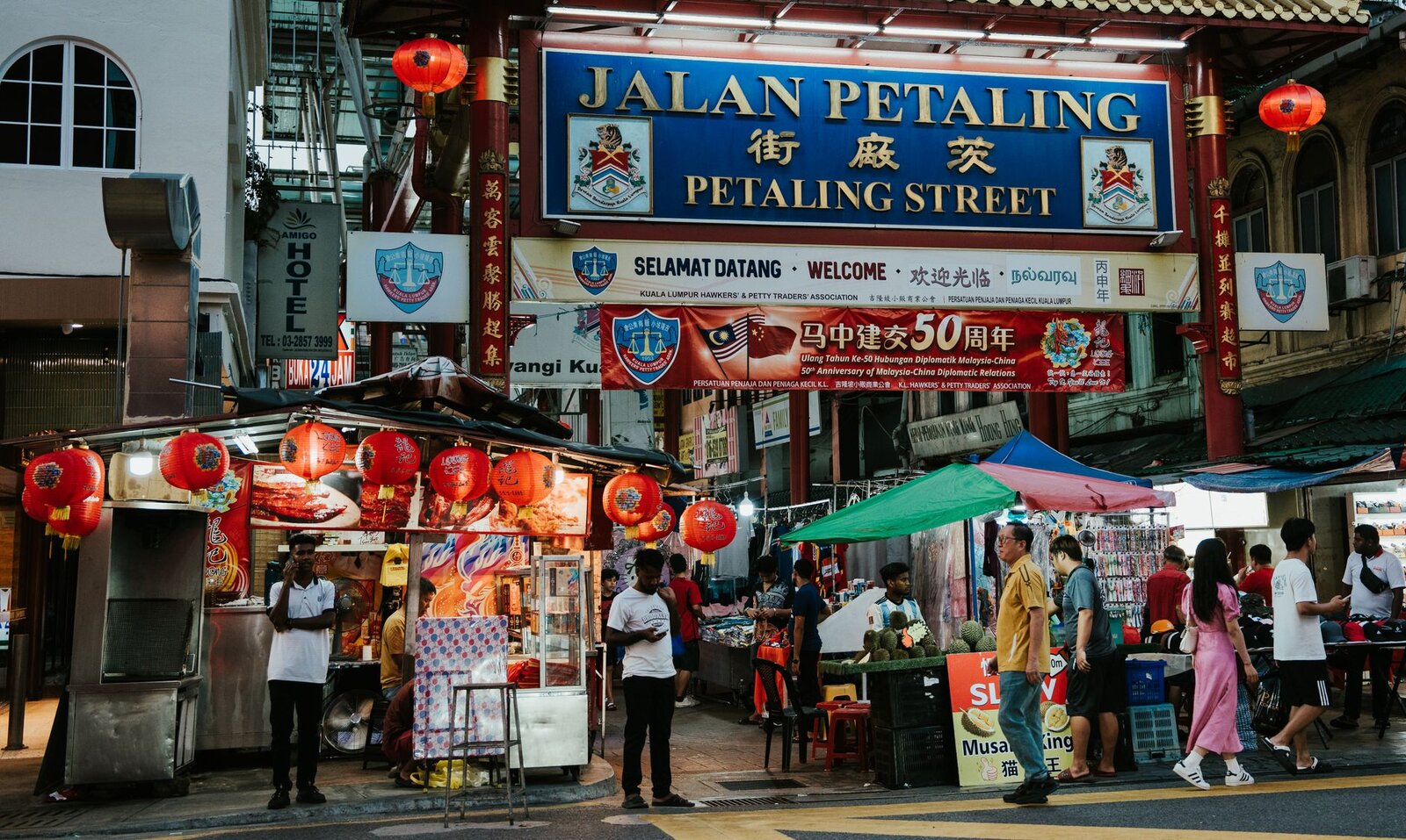
Central Market (Pasar Seni)
Pasar Seni (Line KJ & Line KG) · 2 min
How to get there →
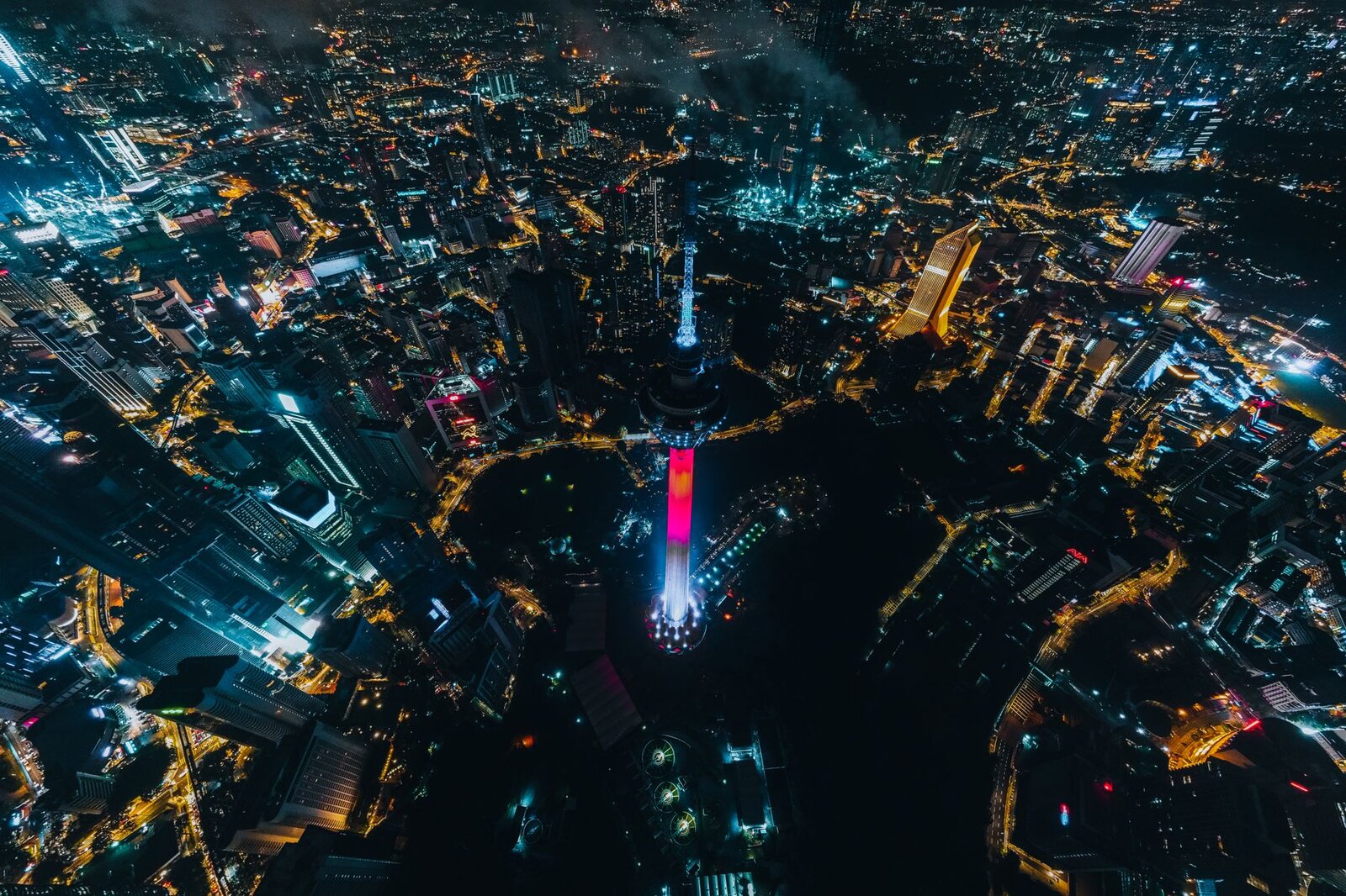
KL Forest Eco Park canopy walk
Bukit Nanas (Line MR) · +15 min
How to get there →
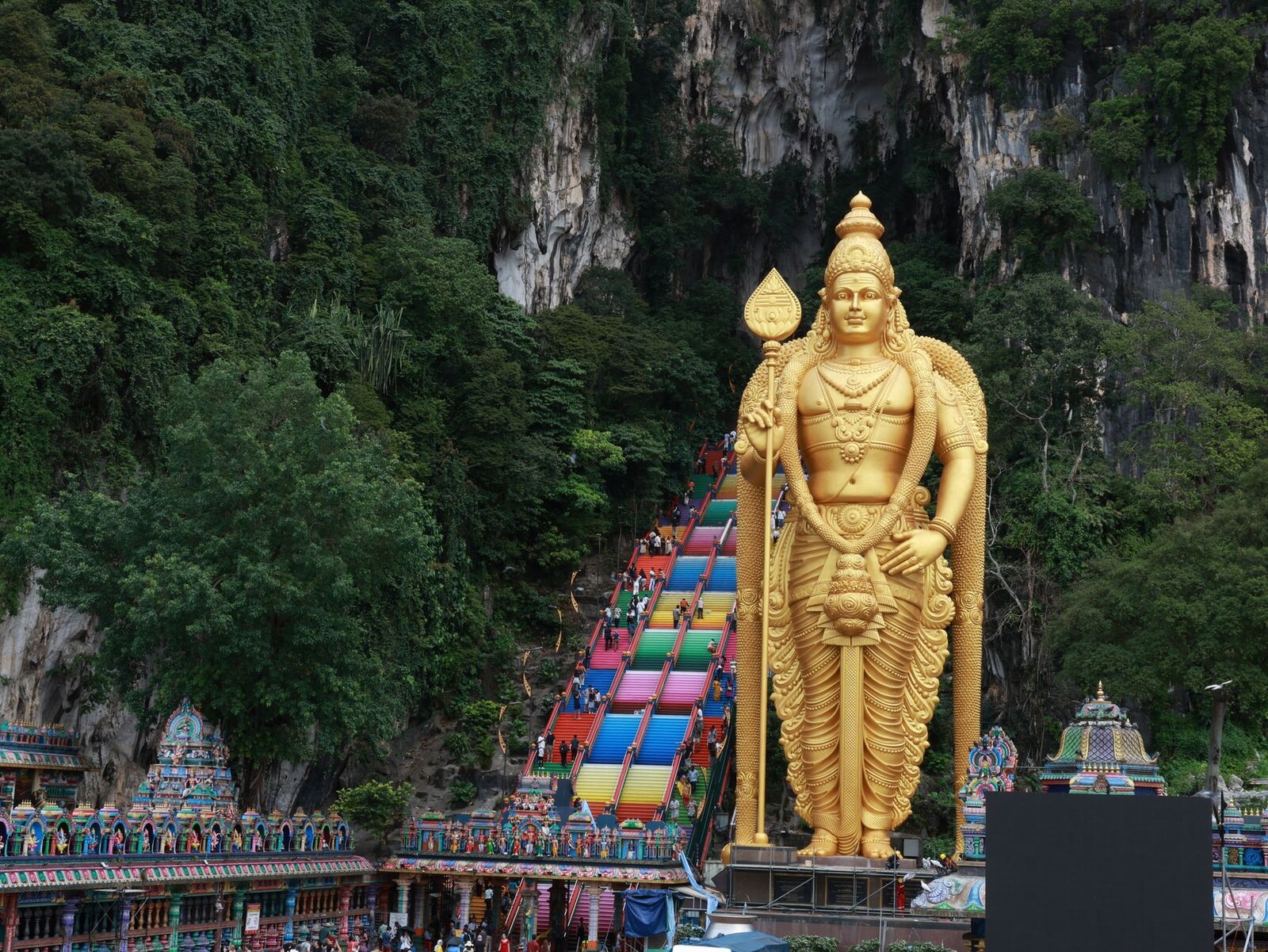
Temple Cave & 272 steps
KL Sentral (Line KJ & Line MR) · +30 min
How to get there →
Attractions by station
| Attraction | Nearest station | Line | On foot |
|---|---|---|---|
| Suria KLCC📍 Map | KLCC | KJ | 3 min |
| KLCC Park & fountains📍 Map | ↳ KLCC | 5 min | |
| Aquaria KLCC📍 Map | ↳ KLCC | 7 min | |
| Petrosains Discovery Centre📍 Map | ↳ KLCC | 4 min | |
| KL Convention Centre📍 Map | ↳ KLCC | 6 min | |
| Kampung Baru (Malay village)📍 Map | ↳ KLCC | 12 min | |
| Pavilion KL📍 Map | Bukit Bintang | KG | 1 min |
| Lot 10 & Sungei Wang📍 Map | ↳ Bukit Bintang | 2 min | |
| Jalan Alor food street📍 Map | ↳ Bukit Bintang | 5 min | |
| Changkat Bukit Bintang📍 Map | ↳ Bukit Bintang | 7 min | |
| Berjaya Times Square (via Imbi)📍 Map | ↳ Bukit Bintang | 8 min | |
| Fahrenheit 88📍 Map | ↳ Bukit Bintang | 2 min | |
| Central Market (Pasar Seni)📍 Map | Pasar Seni | KJ | 2 min |
| Petaling Street (Jalan Petaling)📍 Map | ↳ Pasar Seni | 5 min | |
| Sri Mahamariamman Temple📍 Map | ↳ Pasar Seni | 6 min | |
| Guan Di Temple📍 Map | ↳ Pasar Seni | 6 min | |
| Kwai Chai Hong lane📍 Map | ↳ Pasar Seni | 5 min | |
| Merdeka Square (Dataran Merdeka)📍 Map | ↳ Pasar Seni | 10 min | |
| KL Forest Eco Park canopy walk📍 Map | Bukit Nanas | MR | +15 min |
| Saloma Link bridge📍 Map | ↳ Bukit Nanas | 15 min | |
| Kampung Baru (via Saloma Link)📍 Map | ↳ Bukit Nanas | 18 min | |
| Sunway Putra Mall (via Medan Tuanku)📍 Map | ↳ Bukit Nanas | 12 min | |
| Temple Cave & 272 steps📍 Map | KL Sentral | KJ | +30 min |
| Lord Murugan statue📍 Map | ↳ KL Sentral | at the station | |
| Ramayana Cave📍 Map | ↳ KL Sentral | 3 min | |
| Cave Villa📍 Map | ↳ KL Sentral | 3 min |
Plan your route
Find the fastest route between any two stations on the network.
Contents
Updated: September 2026